About RSGAL
The mission of the University of Minnesota’s Remote Sensing and Geospatial Analysis Laboratory (RSGAL) is to advance the development and application of remote sensing and geospatial analysis to inventory and monitor natural resources and environment through research, instruction, mentoring, and outreach.
Products and Efforts
Some of RGSAL’s past and current products and efforts include:
GLARS at RSGAL
The University of Minnesota’s Remote Sensing and Geospatial Analysis Laboratory (RSGAL), is working with Great Lakes Alliance for Remote Sensing (GLARS) partners on the EPA-funded Great Lakes Restoration Initiative (GLRI) project A multi-scale, multi-temporal approach for identifying landscape change in the Great Lakes Basin. The overall goal of the current project is to develop and distribute remote sensing-based methods to allow for long duration monitoring of the condition of Great Lakes coastal wetlands.
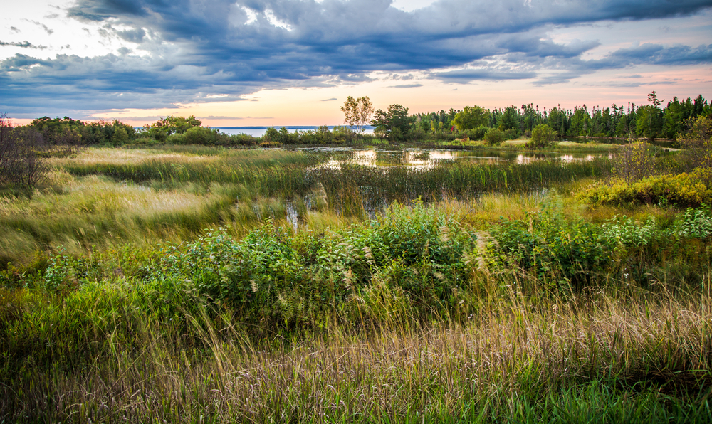
The RSGAL’s portion of the project has three specific aims:
- To develop a scalable, object-based approach for mapping detailed coastal wetlands and landscape features using high resolution satellite imagery and surface models.
- To develop a scalable approach for quantifying and monitoring coastal wetland and landscape change.
- To distribute the data, methods, and results to users and decision managers.
Wetland mapping for this project uses high-resolution, stereo satellite imagery to create digital surface models (DSMs) and lidar-derived digital elevations models (DEMs) in an object-based image analysis (OBIA) workflow. These methods are implemented in Trimble Geospatial’s eCognition Developer software using the e Cognition Network Language. The OBIA approach integrates the multispectral imagery, DSMs, lidar-derived DEMs, and Great Lakes Coastal Wetland Inventory (GLCWI) data from the Great Lakes Coastal Wetland Consortium. The outputs of this process are the land cover the wetland classes: forested, scrub/shrub, and low vegetation. These are characterized using multiple height thresholds: > 2m, 0.5m < 2m, and < 0.5m. The broader GLCWI polygons are used to aggregate the vegetation classes in the image objects. (See Storymap – Change Detection )