About PGC
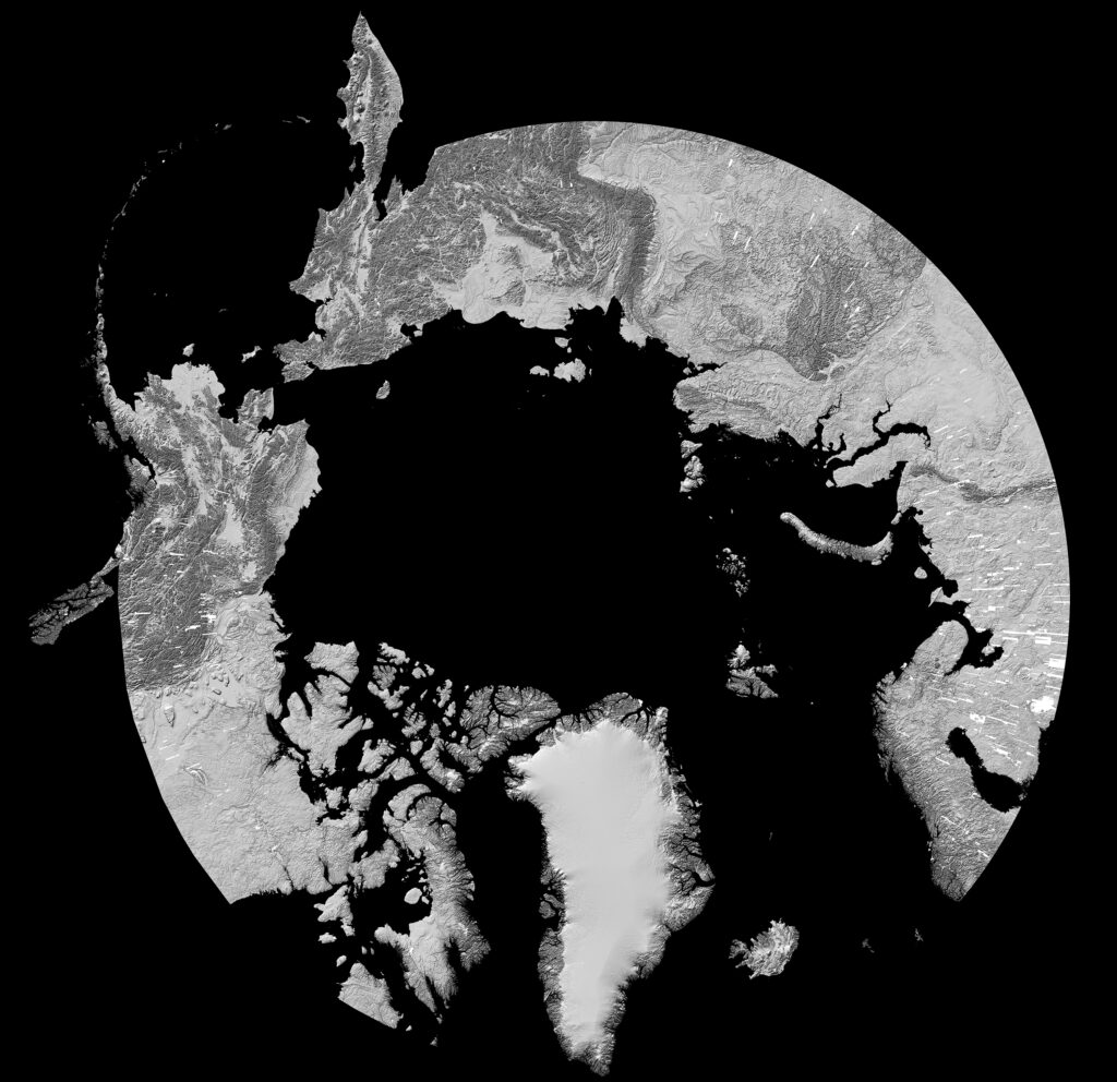
The Polar Geospatial Center (PGC) at the University of Minnesota provides geospatial support, mapping, and GIS/remote sensing solutions to researchers and logistics groups in the polar science community.
PGC supports U.S. polar scientists to complete their research goals in a safe, timely, and efficient manner by providing a service which most groups do not have the resources or expertise to complete.
PGC’s mission includes introducing new, state-of-the-art techniques from the geospatial field to effectively solve problems in the least mapped places on Earth.
Products and Efforts
Some of PGC’s past and current products and efforts include:
GLARS at PGC
The University of Minnesota’s Polar Geospatial Center (PGC) works closely with Great Lakes Alliance for Remote Sensing (GLARS) partner SharedGeo by collaboratively developing imagery processing techniques and facilitating commercial imagery access across the Great Lakes Basin through the National Geospatial-Intelligence Agency’s (NGA) NextView contract.

This SharedGeo-PGC partnership has created a synergy which is maximizing the geospatial research and development dollars being spent by the U.S. Government. Research in the polar regions is benefiting from SharedGeo’s scientific and remote sensing expertise for the Great Lakes Basin as funded by EPA and USFWS within the GLARS project, and conversely, SharedGeo has been able to leverage over a decade of PGC experience in processing and managing Big Data for the polar regions as funded the National Science Foundation. In addition, PGC facilitates access and archival storage for the NGA-licensed NextView imagery used to create the Digital Surface Model strips and mosaics for the Great Lakes Basin.