Telling the GLARS Story
As funded by the U.S. Environmental Protection Agency (EPA) and U.S. Fish and Wildlife Service (USFWS), GLARS came into existence in 2016 as a collaboration between Michigan Tech Research Institute (MTRI), Polar Geospatial Center, Remote Sensing and Geospatial Analysis Lab at the University of Minnesota (RSGAL) and SharedGeo as a way to develop and test the potential for creating imagery products which could be used to remotely monitor changes in the Great Lakes Basin wetlands.
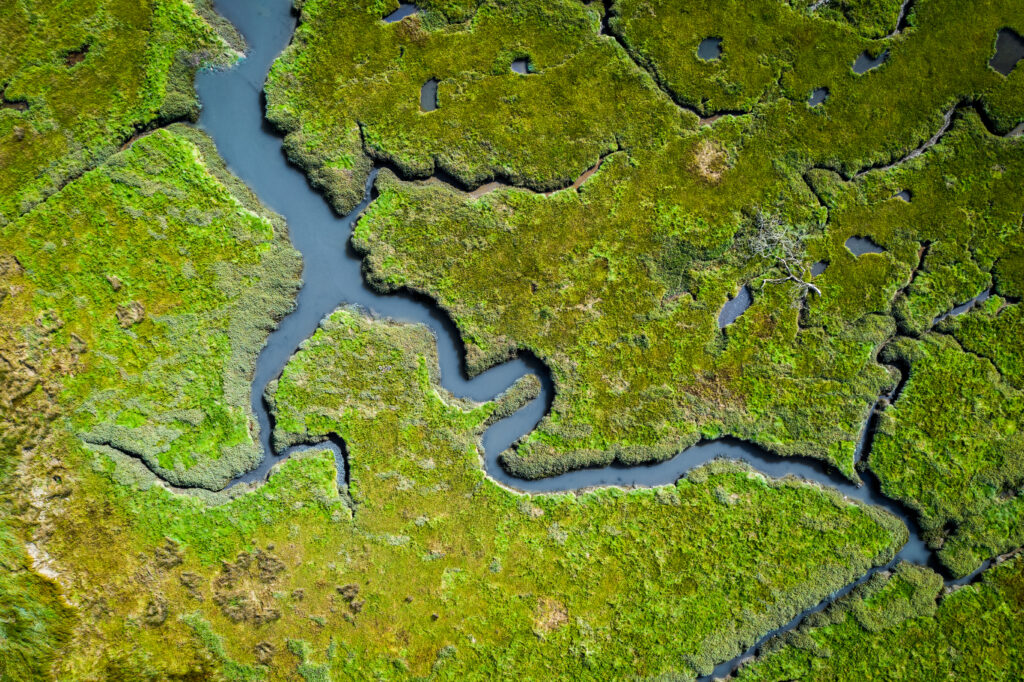
Consequently, the initial goal of the GLARS effort has been to build an integrated, ongoing, remote sensing program for basin-wide mapping, monitoring, management and protection of Great Lakes coastal wetlands. The effort initially focused on developing accurate elevation measurement of coastal wetland features and water level changes across time using two main data sources with frequent collection dates: submeter optical satellite imagery from the NextView program and RADARSAT-2 satellite imagery. This website provides access to data from those efforts.
Beyond data access, it’s also important that the story of GLARS wetland efforts be made known to the wider research community so as to potentially bring other interested parties into the alliance, and to explore potential other use cases for the technology developed by the cornerstone wetland project. The high-resolution, multi-temporal GLARS products developed to aid coastal wetland management and protection efforts could be valuable to a wide swath of GLRI projects ranging from beaver dam removal and cliff erosion remediation, to tracking changes in flora and fauna.
Consequently, in support of outreach, GLARS partner MTRI has developed an interconnected website and storymap focused on the GLARS coastal wetlands story. To review, use the link below: